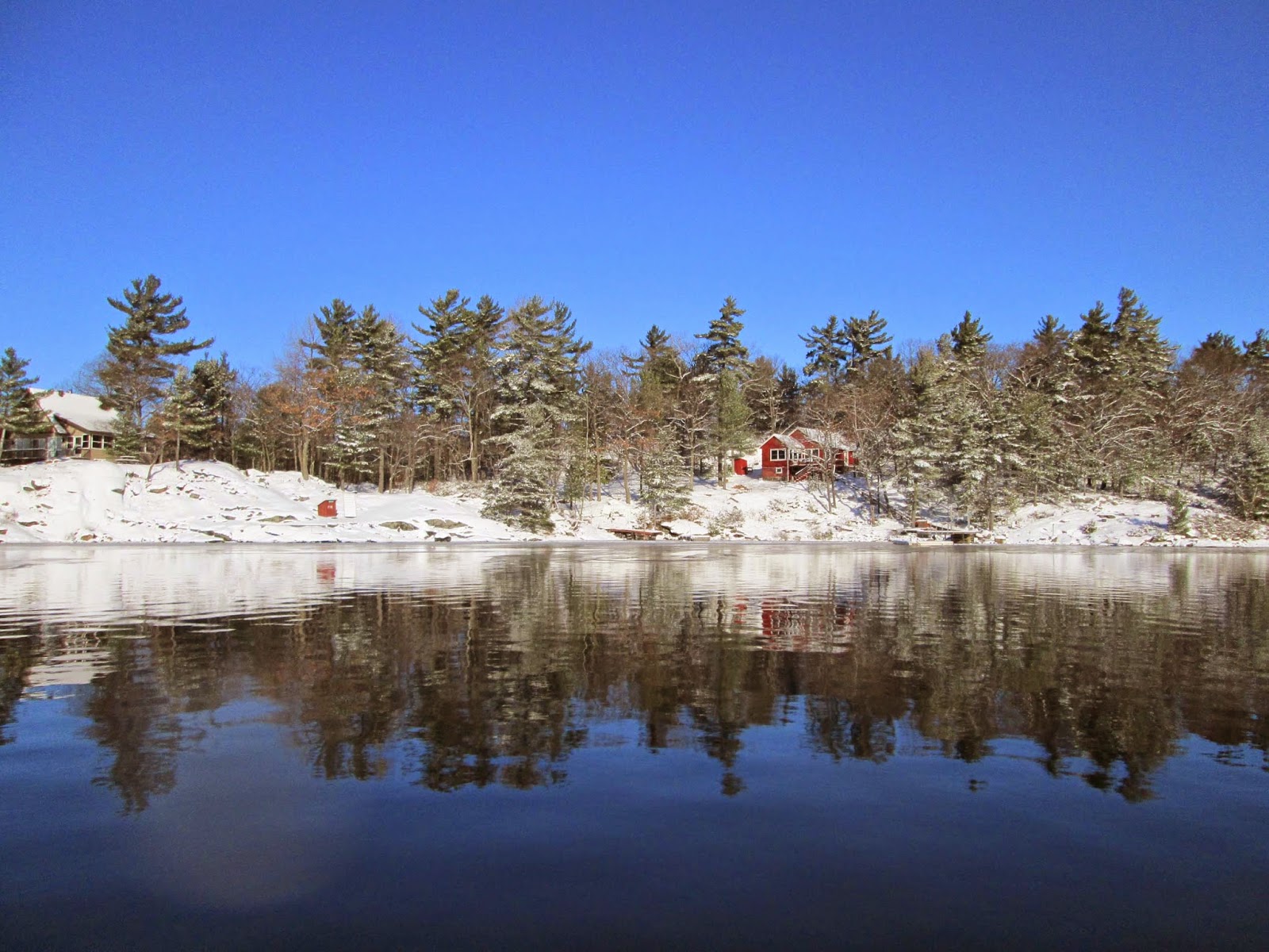
Friday, 16 January 2015


 The ice here at the west entrance to the Indian Dock is 10" thick.  Taken Jan.16/15
Clark's place on Louisa Island
 The ice here in the channel between Shasha and Beauty Island is 8" thick.  Taken Jan.16/15
 The ice here between Gash Island and Bernyk Island is very inconsistent.  It ranges from 4 to 8" thick.  I did not want to walk on this patch of black ice because I suspect it is even thinner.  In my opinion it is NOT Safe to go further south than Gash Island at this time.  Taken Jan.16/15


 This view looking west from Gash Island shows the the ice further out is was broken up in last night's storm.  Taken Jan.16/15
 Looking over toward Bernyk Is from Gash Is.
 This is Bowens place.  The home of the Gash Island Web Cam    http://www.thebowens.name/
This is Shasha Island.  Taken Jan.16/15

Tuesday, 13 January 2015

 This is Parry Island out from the Dunroe portage.
 This is near the center of Five Mile Bay between Dunroe and Parry Iskand.  I found 4" of snow with 4"of stiff slush and 12" of ice with 4" of slush in between.  Further east there is typically 2" of snow with no slush and 8 to 10" of ice all the way to Indian Dock Channel.  The portages are in passable condition with no fallen trees although they could use some trimming.  I made it in to Point pleasant and back.  The conditions are good.  Taken Jan.13/15
Looking east toward Two Mile Narrows.  Taken Jan13/15

Monday, 12 January 2015


 This is Redner Bay.  Taken Jan.12/15
This is MacArthur Point.  The slush is crusting over.  The snowmobile doesn't break through the crust most of the time.  Tonight's cold temperatures should freeze the slush solid into thick enough ice.
Taken Jan.12/15

Sunday, 11 January 2015

I'm still stuck mid channel in front of Redner Bay.  I found 3" of slush then 2" of ice and then 3" of slush and 2more inches of ice.  Hopefully the slush will freeze into ice and I'll be able to cross the channel.  Taken Jan.11/15

Wednesday, 7 January 2015

This picture is from the center of the channel looking into Redner Bay just off MacArthur Point.  The ice here is 4" thick with 2" of slush and 4" of snow on top.  It is - 24C plus a significant wind chill.  taken Jan.7/15

Tuesday, 6 January 2015

This picture is looking south along MacArthur Pt.  About 12" of new snow has fallen this week.  I haven't been able to scoot into Parry Sound for more than a week because of unfavorable weather so I can't update the conditions on Five Mile Bay.  Taken Jan.6/15
Here is a shot of the snowmobile trail into Kineras Bay.  I was grooming it before the real cold weather comes.  Taken Jan.6/15
Here is a view from MacArthur Point looking towards the back of Freedom Is. with Amanda in the background.  This was all open water a week ago.  There is 4" of ice here.  Taken Jan.6/15
Here is a recent picture of Parry Sound Harbour from Parry Sites.

http://parrysights.com/

Friday, 2 January 2015


The view of Kineras  Bay with about 6" of new snow and completely frozen over.  Taken Jan.2/15
This shows how much the water rose during the last storm.  About 12".  Taken Jan.2/15
Looking toward Amanda from the base of MacArthur Point at the end of the snowmobile trail.
Taken Jan.2/15

Monday, 29 December 2014

I made it back home to Kineras Bay yesterday afternoon.  I was shocked to see how much ice was lost over the past week.  There is basically no snow and no ice except in back bays.  Glen Burney looked completely open and the channel was completely open. This picture shows Kineras Bay.  Taken Dec.29/14

Tuesday, 23 December 2014

Looking east toward Milton Island across Seven Mile Bay.  This ice is about 1 1/2" Thick.  I'm heading South to the city for a week to spend the holidays with my family.  Taken Dec. 21/14
Looking east toward the Ospreys nest.  This ice is about 1" thick.  Taken Dec. 21/14

Looking west in Five mile Bay a thin ice covering about half the bay.  Taken Dec. 22/14
A fellow boater out breaking ice in the Two Mile Narrows.  Taken Dec.22/14

Friday, 19 December 2014


The view from Wilson's Place of Kineras Bay.  The channel is still open despite the -10 C cold temperatures  Taken Dec.19/14
I passed this hovercraft on my way into town at the entrance to the Seven Mile Narrows.  The channel was open all the way in.  The marinas are still iced in.  Taken Dec.18/14

Friday, 12 December 2014

Safely back home on Kineras Bay.  The ice in front of my dock is 5" thick.  Taken Dec.12/14
Morrison's place in the Two Mile Narrows.  taken Dec.12/14
Looking at Two mile Gap on Five Mile Bay.  Taken Dec.12/14
Milton Is. Seven Mile Bay.  Taken Dec.12/14
Hewit and Levisons place on Maclaren Is. in Seven Mile Bay.  Taken Dec.12/14


 This group of pictures were taken from the head of Kineras Bay to Seven Mile Narrows.  Taken Dec.12/14


Wednesday, 10 December 2014

Still open water in the channel at the head of Kineras Bay.  I saw a boat go by yesterday.  I have 3" of ice around my docks.  Taken Dec.10/14

Saturday, 6 December 2014

Kineras Bay is frozen to the channel.  Taken Dec.6/14
This is a view of Redner Bay.  It is frozen out to the point.  Taken Dec.6/14

Thursday, 4 December 2014

This shows the scoot on Point Pleasant Marina beach loaded for the return trip back to Kineras Bay from my weekly trip to town.  Taken Dec.4/14
Here is some broken ice in front of Glen Burney approaching the Two Mile Narrows.  Taken Dec.4/14

Back home on Kineras Bay.  This is the third freeze.  The ice is about 1 1/2" thick.  Taken Dec.4/13