Pictures and comments from the south channel
Please feel free to send pictures and comments or ask Questions. Click on a picture to download a full size version.
Sunday, 31 March 2019
These two photo were taken near the western mouth of the Indian Dock Channel. There is bad ice at this point where the by pass trail comes out. There is another trail that goes about 500' further out. Taken Mar.31/19
Friday, 29 March 2019
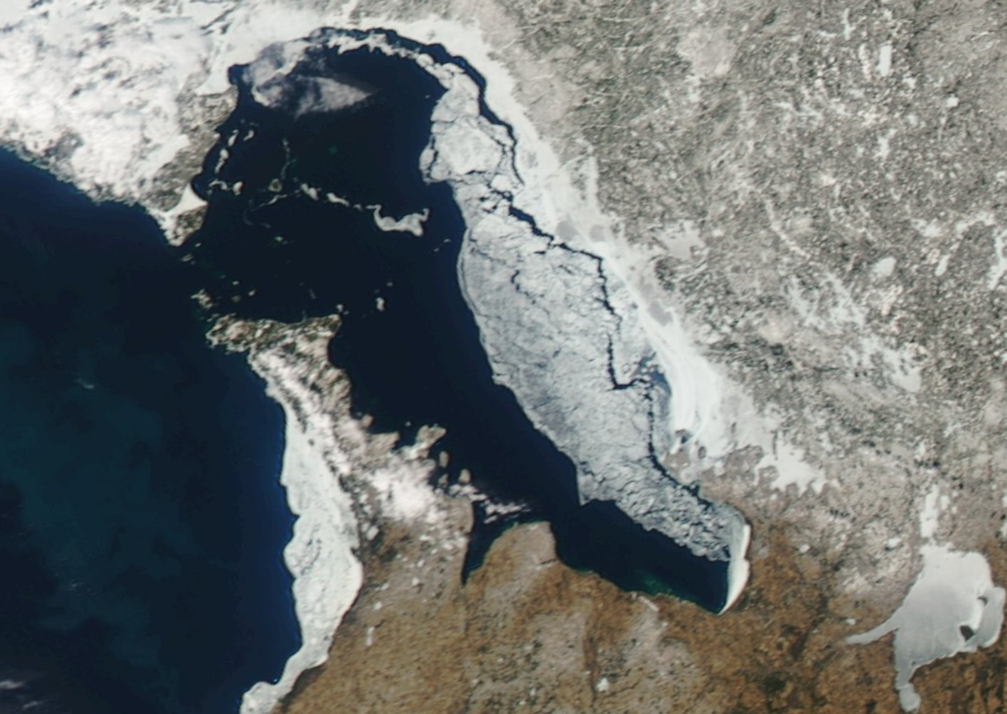
Today's satellite photo of Georgian Bay. Taken Mar.29/19
Shipping has started in the Great Lakes, but not on Georgian Bay. I saw the Bae Comeau in Midland when I was there on the snowmobile earlier this winter. This web site tracks all the ships in the world. Click on the ship and get more information. Zoom in or out with the scroll wheel. Screen shot taken Mar.29/19
The leed at the western narrows of the Indian Dock has opened considerably. Taken Mar.27/19
This series of pictures were taken along the south western end of Lent Island. Taken Mar.27/19
Tuesday, 26 March 2019
A pressure crack is starting to form at the north end of Isabel Island across from Glen Burney Marina. The conditions for snowmobiling are poor because of miles of glare ice with no snow. The snow on some portages is getting thin. Taken Mar.26/18
Saturday, 23 March 2019
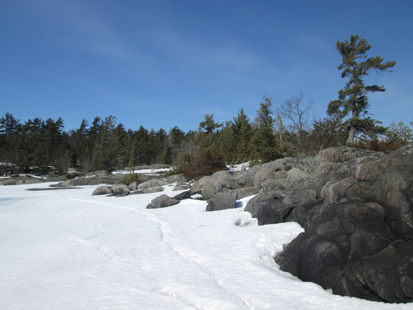
The view from Jack's Island which is just south of the Long Sault. Taken Mar.23/19
Wednesday, 20 March 2019
Hydro workers have been busy out here this winter reading meters, marking trees and cutting down potential problem trees in the right of ways. Taken Mar.20/19
Tuesday, 19 March 2019
The channel at Wellington Point is starting to open up. Taken Mar.19/19
Ajax Rock near Wild Goose Island. Taken Mar.19/19
The western narrows of the Indian Dock Channel. Taken Mar.19/19